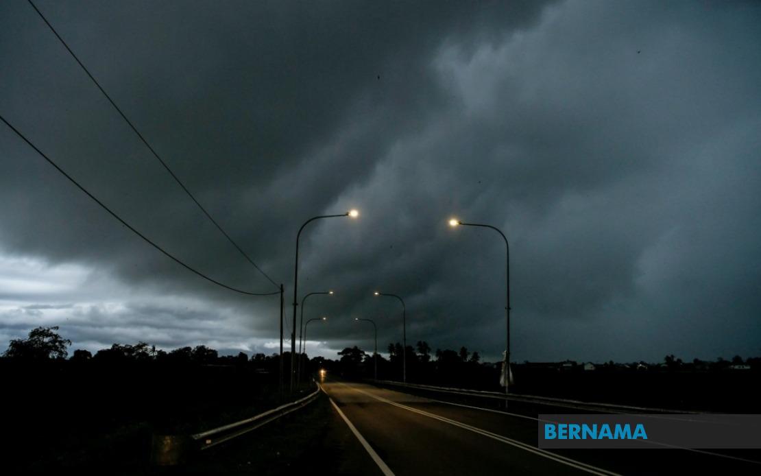
The Malaysian Meteorological Department issued an urgent weather alert on July 11 covering thunderstorms, heavy downpours and powerful wind gusts expected to sweep across five Malaysian states until noon the same day. The warning underscores the volatile weather patterns that characterise Malaysia's monsoon transition periods, when atmospheric instability frequently triggers sudden convective systems capable of causing localised flooding and traffic disruption across densely populated areas.
In the northern state of Kedah, residents in Kota Setar, Pokok Sena, Yan and Pendang face the brunt of the incoming system. These districts encompass both urban settlements and agricultural zones dependent on predictable weather patterns, making rapid meteorological updates critical for farmers, transport operators and households in preparation for potential damage or access difficulties.
The neighbouring state of Perak was similarly flagged for severe conditions in the districts of Manjung, Bagan Datuk and Hilir Perak. This region's significance extends beyond residential considerations—Manjung and Hilir Perak form part of Perak's economic corridor, with established port facilities and industrial operations that could face disruption from sustained heavy rainfall and associated flooding in low-lying areas.
Negeri Sembilan's Rembau and Tampin districts also received warning notices, placing residents and businesses in these areas on alert. Both districts contain significant commercial activities and residential clusters that rely on functional transportation networks, which often become compromised during intense rainfall events typical of such weather systems.
The central western state of Melaka in its entirety fell within the warning zone, reflecting the meteorological department's assessment that the system's reach encompasses the entire state. Given Melaka's topography and established drainage systems in urban areas, the warning carries particular relevance for residents in flood-prone neighbourhoods and business operators with ground-floor establishments vulnerable to water ingress.
Southern Johor experienced the most extensive coverage, with six districts identified as vulnerable: Tangkak, Muar, Batu Pahat, Pontian, Kulai and Johor Bahru. This concentration reflects the typical movement patterns of thunderstorm systems approaching from the Strait of Melaka and adjacent waters. Johor Bahru's status as Malaysia's second-largest metropolitan area means disruptions there carry implications for cross-border commerce with Singapore and broader regional supply chain operations.
Thunderstorm systems of this magnitude pose multifaceted risks beyond immediate rainfall concerns. Wind gusts accompanying such weather can down power lines, disrupt telecommunications and cause structural damage to unsecured structures. In areas with older building stock or temporary structures common to commercial districts, such winds represent genuine safety hazards requiring precautionary measures well before the system arrives.
The short duration window—persisting only until noon—suggests this represents a typical tropical convective system rather than a prolonged weather pattern. However, the intensity concentrated into this narrow timeframe increases the likelihood of flash flooding in drainage-challenged areas, particularly in urban zones where concrete surfaces limit water absorption and street-level infrastructure becomes overwhelmed during extreme rainfall bursts.
MetMalaysia's advisory specifically directed affected residents to maintain vigilance and actively consult official meteorological channels for updates. This guidance reflects recognition that real-time information becomes crucial as systems develop, with conditions potentially intensifying, dissipating or shifting geographically faster than initial forecasts indicated. Mobile alerts, social media updates and traditional media coverage provide multiple information pathways for residents to access the latest situation assessments.
The department's decision to issue formal warnings rather than routine weather forecasts indicates confidence that conditions would exceed normal thresholds and warrant precautionary action. Such warnings typically trigger standard protocols in affected municipalities, including public works department readiness for emergency drainage operations, hospital preparedness for weather-related incidents and traffic management adjustments to accommodate reduced visibility and hazardous road conditions.
From a broader Southeast Asian perspective, Malaysia's monsoon transition periods regularly generate similar weather patterns affecting the wider region. Thailand, Singapore and Brunei experience comparable systems during their respective transitional months, creating a regional weather risk profile that international businesses and supply chain operators managing operations across multiple countries must continuously monitor and prepare for.
The warning's geographic specificity—naming precise districts rather than issuing blanket state-wide advisories—reflects MetMalaysia's increasingly sophisticated forecasting capabilities. Localised warnings enable targeted response efforts, allowing emergency services to position resources strategically and permitting residents outside warning zones to proceed with normal activities rather than experiencing unnecessary disruption from overly broad cautions.
Residents and businesses within the affected districts should implement standard severe weather precautions: securing loose outdoor items, clearing drainage systems, ensuring emergency supplies are accessible and avoiding unnecessary travel during peak rainfall hours. For motorists, reducing speed and increasing following distances becomes essential when visibility deteriorates during heavy downpours, while commercial operators should consider temporary closures of outdoor activities and ensure employees have safe shelter nearby as conditions develop.

