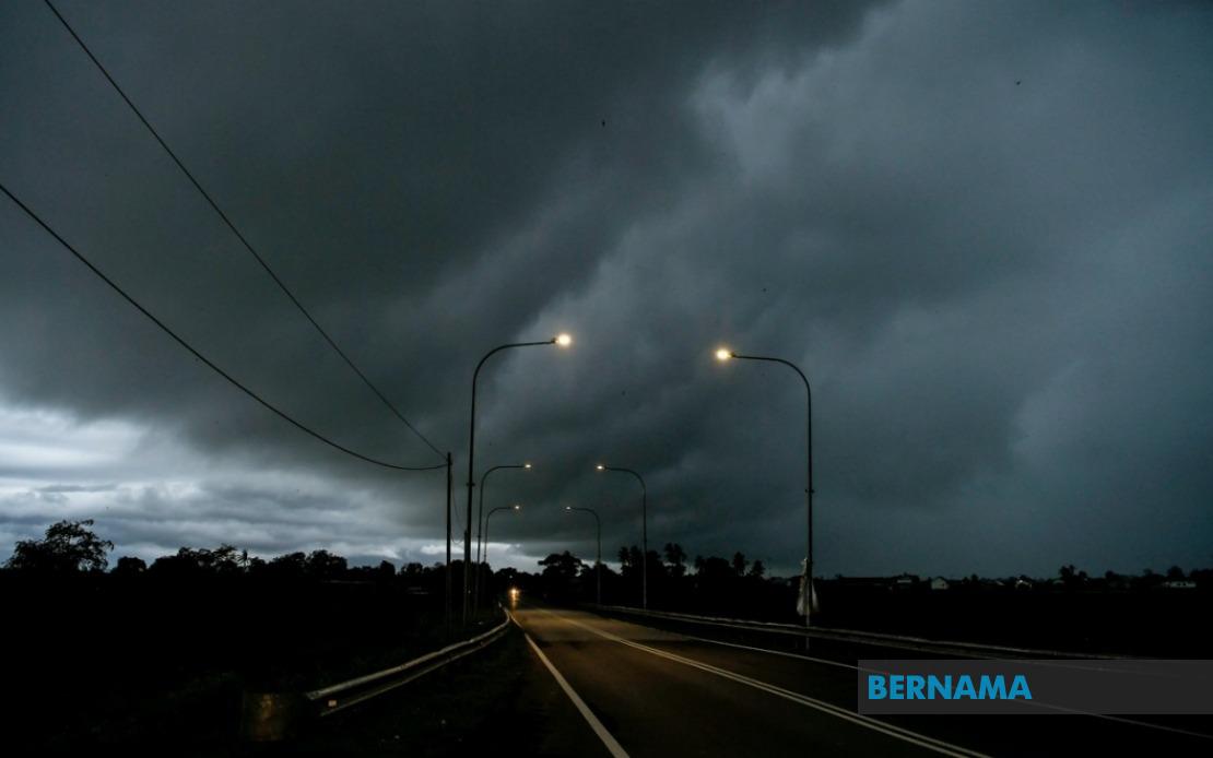
The Malaysian Meteorological Department has activated a weather alert covering a significant swathe of the country, warning residents and travellers across 10 states to prepare for potentially hazardous atmospheric conditions until 6 pm today. The warning encompasses multiple districts spanning Peninsular Malaysia as well as the East Malaysian states, signalling the arrival of a substantial weather system that could bring disruption to communities, transport networks and outdoor activities across the region.
In the northern region, the entire state of Perlis falls under the warning perimeter, whilst several key districts in Kedah have been flagged for concern. The affected areas in Kedah include Padang Terap, Kuala Muda, Sik, Baling, Kulim and Bandar Baharu, representing a substantial portion of the state's populated and commercial zones. This northern corridor constitutes an economically important region for agriculture and trade, making the weather advisory particularly significant for farmers and logistics operators who may need to adjust their daily operations.
Moving into Perak, MetMalaysia has identified an extensive list of vulnerable districts, encompassing Kerian, Larut, Matang and Selama, Hulu Perak, Kuala Kangsar, Kinta, Kampar, Batang Padang and Muallim. The breadth of coverage across Perak reflects the state's diverse geography, from coastal lowlands to elevated interior regions, each presenting distinct weather challenges during severe weather events. Residents in these areas should remain vigilant regarding flash flood possibilities, particularly in flood-prone districts like those in Hulu Perak.
On the east coast, Kelantan's warning encompasses Pasir Mas, Jeli, Tanah Merah, Machang, Pasir Puteh, Kuala Krai and Gua Musang, whilst the entirety of Terengganu has been placed under the meteorological alert. The complete coverage of Terengganu underscores the intensity of the weather system affecting the east coast region. Additionally, several Pahang districts face the warning, namely Cameron Highlands, Lipis, Raub, Jerantut, Bentong, Kuantan, Pekan and Rompin, creating a substantial impact zone across this large state.
In the Klang Valley and surrounding areas, only Hulu Selangor in Selangor has triggered the warning, suggesting that the heaviest weather activity will remain concentrated away from Malaysia's economic heartland. However, commuters and residents in the Hulu Selangor district should exercise caution, particularly during peak travel times. Johor's east coast and southern districts experience coverage as well, with Batu Pahat, Kluang, Mersing, Pontian, Kulai, Kota Tinggi and Johor Bahru all falling within the alert zone, potentially disrupting weekend plans and commercial operations across the southern state.
The warning extends significantly into East Malaysia, demonstrating that the meteorological system possesses sufficient intensity to influence weather patterns across the entire nation. In Sarawak, affected areas span from the relatively populated Kuching region including Bau, through to Betong with Saratok and Kabong, and extending northward through Sarikei, Sibu and Selangau, Mukah, Bintulu, and the northern divisions of Miri encompassing Subis, Beluru, Miri and Marudi. Limbang also falls under the advisory, meaning that virtually all major population centres across Sarawak should prepare for severe weather conditions.
In Sabah, the warning reaches the Interior districts of Sipitang, Tenom, Kuala Penyu, Beaufort and Tambunan, as well as the West Coast division. Additionally, Sandakan's Beluran district and Kudat face the alert, indicating that the weather system will impact communities across the state from the mountain interior to the coastal regions. This comprehensive coverage across both East Malaysian states reflects the geographic extent and potency of the atmospheric disturbance.
Thunderstorm warnings of this magnitude typically indicate the presence of substantial moisture content and atmospheric instability, conditions that can rapidly develop into hazardous weather within a narrow timeframe. The three-to-six-hour window stipulated by MetMalaysia provides residents with a critical period to implement precautionary measures, including securing loose outdoor items, avoiding flood-prone areas, and delaying non-essential travel. For industrial and commercial operators, such alerts necessitate halting outdoor work schedules and implementing safety protocols for workers and equipment.
The simultaneous warning across such a dispersed geographic area suggests that a significant weather system, possibly related to monsoon conditions or a trough of low pressure, has developed sufficient coherence to warrant coordinated meteorological alerts nationwide. For maritime operators, coastal communities and agricultural workers, such alerts represent operational constraints that demand immediate attention and resource reallocation. Schools and public institutions may also need to implement contingency plans should weather conditions deteriorate more rapidly than anticipated.
Residents across all affected areas are advised to monitor local weather updates continuously until the warning concludes at 6 pm. The Malaysian Meteorological Department regularly updates its forecasts as new atmospheric data becomes available, and supplementary alerts may be issued should conditions intensify or expand beyond current projections. Preparedness remains the most effective response strategy, enabling individuals and organisations to minimise disruption and maintain safety throughout the warning period.

