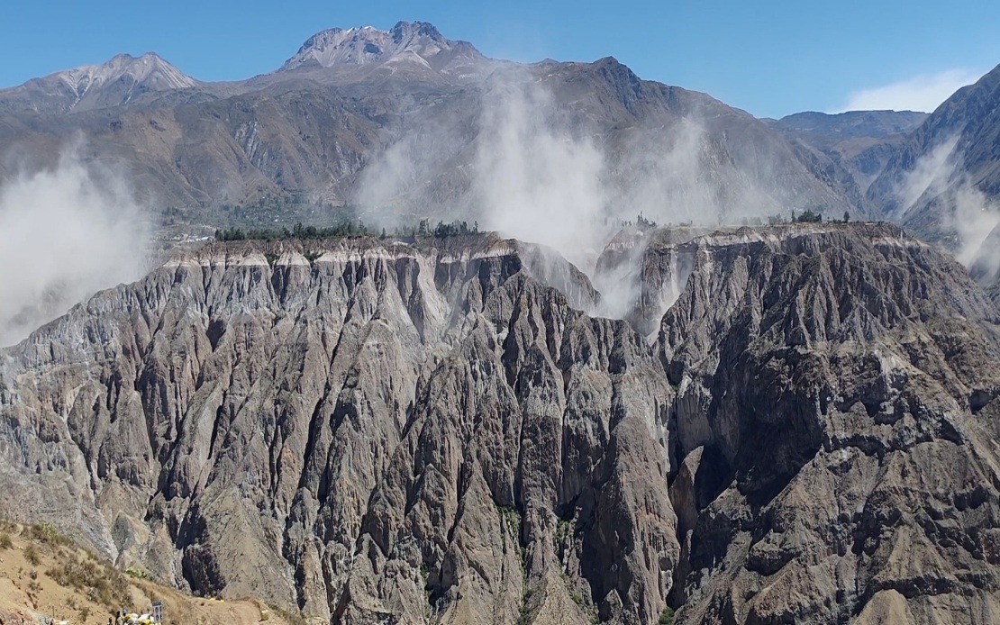
A significant seismic event struck southern Peru on Thursday afternoon, registering 6.7 magnitude according to the US Geological Survey, with the Geophysical Institute of Peru reporting a marginally higher reading of 7.2 magnitude. The tremor originated at approximately 1 pm local time at a depth of 108 kilometres, with its epicentre positioned some 35 kilometres north of Coracora in Parinacochas province within the Ayacucho department. Despite the considerable magnitude, Peruvian disaster management authorities confirmed that no deaths or serious building collapses were immediately reported in the affected areas.
The substantial depth of the earthquake played a critical role in mitigating surface-level damage. Geophysicists explained that the 108-kilometre depth allowed the released seismic energy to dissipate through the earth's layers before manifesting at ground level. This phenomenon resulted in a Mercalli intensity rating of III-IV, classified as light to moderate shaking, which explains why the tremor, though powerful in magnitude, did not produce the destructive consequences typically associated with quakes of similar strength occurring closer to the surface. This protective effect of depth is a well-documented phenomenon in seismology and demonstrates why epicentre location matters as much as raw magnitude figures when assessing earthquake risk.
The shaking from Thursday's event extended far beyond the immediate epicentre region, demonstrating the widespread reach of intermediate-depth earthquakes. Residents throughout southern and central Peru reported feeling the tremor, and significantly, the seismic waves were strong enough to trigger alarm responses as far north as Lima, the capital city located hundreds of kilometres away. This geographic spread of perceptible motion underscores how intermediate-depth earthquakes can affect sprawling areas despite causing limited localized damage, creating widespread public awareness and concern even when physical destruction remains minimal.
The timing of this earthquake occurs against a backdrop of intensifying seismic activity across Peru's northern and southern regions in recent months. Geologists have noted that Peru sits squarely within the Pacific Ring of Fire, a zone of intense tectonic activity encircling the Pacific Ocean where the majority of the world's earthquakes and volcanic eruptions occur. This geological reality means that Peru must maintain constant vigilance and preparedness, as the country's position makes significant seismic events an inevitable aspect of its natural environment rather than an anomaly.
Historical precedent underscores the potential consequences when major earthquakes strike with unfavourable characteristics. The 2007 earthquake centred on the Ica region, which registered 7.9 magnitude, resulted in nearly 600 deaths and caused extensive structural devastation across multiple regions. That catastrophe serves as a sobering reminder that while Thursday's event was successfully managed, larger or shallower earthquakes in the future could prove catastrophic if inadequate preparation systems are in place. The contrast between the 2007 disaster and Thursday's relatively benign outcome illustrates how depth, timing, population density, and building standards all interact to determine earthquake impacts.
In response to Thursday's tremor and the broader pattern of heightened seismic activity, the Geophysical Institute of Peru's National Seismological Centre issued formal guidance urging public vigilance and preparedness measures. Citizens were advised to review and practise household evacuation protocols, ensuring that families understand how to respond safely when significant shaking occurs. Additionally, authorities recommended that residents maintain stocked emergency supply kits containing essentials such as water, food, first-aid materials, flashlights, and battery-powered radios. These measures represent standard disaster preparedness protocols that reduce casualty rates and improve community resilience.
For Malaysian readers and Southeast Asian observers, Peru's seismic challenges offer relevant lessons given the region's own exposure to earthquake and tsunami risks. Indonesia, the Philippines, and other Southeast Asian nations occupy similarly active tectonic zones, creating comparable vulnerabilities. The Peruvian experience demonstrates how institutional preparedness, building standards, and public education directly influence whether major geological events become humanitarian disasters or manageable natural phenomena. Southeast Asian governments continue investing in earthquake early warning systems, building code improvements, and public awareness campaigns informed partly by international examples such as Peru's ongoing seismic management efforts.
The distinction between magnitude and damage potential, so clearly illustrated by Thursday's event, remains a crucial concept that often eludes public understanding. A 6.7 magnitude earthquake recorded by instruments represents an objective measure of energy release, yet this number alone tells an incomplete story about actual ground impact and structural consequences. Depth, distance from population centres, soil composition, and existing building infrastructure all fundamentally shape whether an earthquake becomes a news item or a tragedy. Seismic scientists have long emphasized that focusing exclusively on magnitude figures can mislead the public and policymakers into misallocating resources or developing inappropriate preparedness strategies.
The response from Peruvian authorities, characterized by transparency about both the earthquake's magnitude and the absence of major damage, reflects international best practices in disaster communication. Rather than attempting to downplay the event or creating unnecessary panic, authorities provided factual assessments based on real-time monitoring data and ground surveys. This approach maintains public confidence in official institutions while avoiding the complacency that could arise if seismic risks were minimized or the anxiety that might result from alarmist rhetoric. Effective disaster governance requires this balance between acknowledging genuine risks and providing reassurance grounded in evidence.
Looking forward, Thursday's earthquake will likely reinforce commitments to earthquake preparedness across Peru and throughout the Pacific Ring of Fire region. Insurance companies, engineering firms, and government agencies will analyse the event's characteristics and impacts to refine their models and improve future response protocols. The data gathered from this moderate-to-strong earthquake contributes to the scientific understanding of seismic patterns in South America and informs global knowledge about earthquake behaviour. For Peru specifically, the incident serves as a reminder that while recent seismic activity has intensified, the country's geological setting means continuous preparedness is not merely prudent but essential to protecting lives and infrastructure.

