South Korea is preparing to launch its fourth domestically-built medium-sized Earth observation satellite, marking another significant step in the country's expanding space programme. The Korea AeroSpace Administration announced the satellite will lift off from Vandenberg Space Force Base in California aboard a SpaceX Falcon 9 rocket, with the mission scheduled for early Tuesday afternoon Korea time. This launch represents Seoul's continued commitment to developing independent satellite capabilities that reduce reliance on foreign imaging systems for national security and civilian applications.
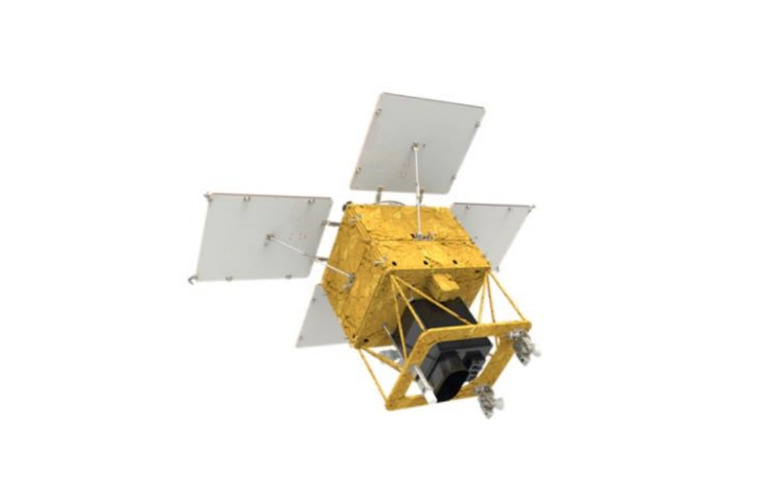
The 500-kilogramme satellite represents the maturation of South Korea's medium-sized satellite programme, which has steadily built operational redundancy and expanded coverage across East Asia. Having completed all functional inspections and fuel loading procedures over the preceding month, the spacecraft is now positioned and ready for deployment. The timing of the launch reflects Seoul's strategic sequencing of space operations, with each satellite addition strengthening the country's ability to conduct continuous Earth observation and gather real-time intelligence on environmental and security matters.
Once separated from the Falcon 9 approximately two hours and twenty-two minutes after ignition, the satellite will establish its first communication link roughly half an hour later through the Svalbard ground station positioned in Norway. This remote facility serves as a critical acquisition point for space operations in the region, underlining the international cooperation embedded within seemingly national space programmes. The transmission of initial telemetry data will confirm proper deployment and the health of all onboard systems during the critical early orbital phase.
The satellite carries South Korean-developed payloads tailored specifically for regional requirements, including a sophisticated observation camera engineered to image the entire Korean Peninsula every three days. This imaging frequency provides unprecedented temporal resolution for monitoring rapid changes across the divided peninsula, from agricultural patterns to infrastructure development. The system's design reflects Seoul's focus on practical applications beyond military reconnaissance, addressing genuine civilian needs across the country.
Seoul envisions the satellite serving diverse operational purposes that extend across environmental monitoring and public protection frameworks. Agricultural planners can utilise the imagery to assess crop health and predict yields, while forestry officials can track woodland condition and detect early signs of pest outbreaks or disease. The satellite's capabilities will enable systematic monitoring of forest changes, permitting more responsive management of South Korea's precious woodland ecosystems under increasing pressure from climate variability and pest pressures.
Disaster response represents another critical application domain for the satellite network. During typhoons, flooding, or other natural catastrophes that frequently afflict East Asia, rapid and detailed imaging allows emergency coordinators to assess damage extent, identify priority relief zones, and allocate resources with precision that saves lives and accelerates recovery. The satellite will strengthen South Korea's capacity to respond internally while potentially supporting regional humanitarian operations through shared imagery, positioning Seoul as a constructive space power.
Climate change analysis constitutes a longer-term application as researchers utilise successive satellite passes to track environmental transformation across the peninsula and surrounding areas. Multi-year image sequences reveal glacier recession, vegetation migration, and coastal erosion patterns that illuminate climate impacts at scales invisible to ground-based monitoring. This data accumulation supports evidence-based policy development and contributes to broader regional understanding of climate dynamics affecting Southeast Asian nations as well.
After reaching its operational altitude of approximately 888 kilometres, the satellite will enter a demanding four-month commissioning phase during which ground teams will systematically test each instrument, calibrate sensors, and optimise operational procedures. This extended validation period, while extending the timeline before full capability, ensures the satellite achieves design specifications and delivers reliable data throughout its projected service life. Following successful commissioning, the satellite will transition to full-scale operational missions beginning in the first half of the following year, when it will join South Korea's constellation of Earth observation systems.
The addition of this fourth satellite significantly enhances South Korea's independent imaging capacity at a moment when regional geopolitical competition increasingly emphasises technological self-sufficiency and sovereignty over critical infrastructure. By developing domestic satellite systems rather than purchasing foreign commercial imagery, Seoul reduces strategic vulnerability and maintains assured access to intelligence vital for national interests. This approach carries implications beyond the peninsula, as it demonstrates how middle powers can progressively build sophisticated space capabilities that enhance regional stability through improved transparency and reduced information asymmetries.
From a Southeast Asian perspective, South Korea's expanding space programme represents both competition and potential partnership. As Seoul develops more capable systems, Malaysian, Indonesian, and Thai planners must consider how to acquire advanced Earth observation data while potentially collaborating with South Korean space authorities on shared regional challenges from monsoon prediction to transboundary haze monitoring. The satellite network Seoul is constructing could eventually serve as a foundation for broader Asian cooperation on environmental monitoring and disaster management, addressing challenges that transcend national borders and demand coordinated regional responses.