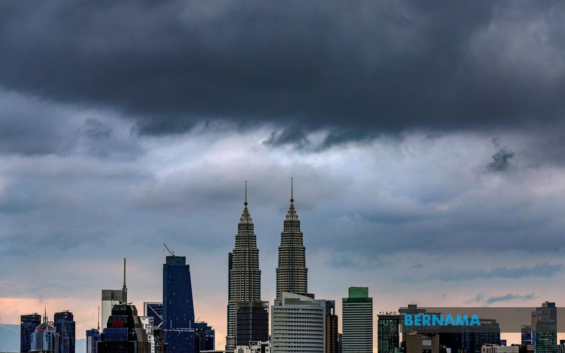
The Malaysian Meteorological Department (MetMalaysia) has issued a significant weather alert for thunderstorms, heavy rain and strong winds affecting a broad swathe of the peninsula, including the capital Kuala Lumpur and the federal administrative centre of Putrajaya. The warning remains in effect until 3 pm on July 23, urging residents and commuters across the impact zones to exercise caution and prepare for potentially hazardous conditions.
The alert encompasses ten administrative areas in total, with the northern states bearing the brunt of the anticipated weather disruption. In Kedah, the affected districts include Yan, Pendang, Kuala Muda, Sik, Baling, Kulim and Bandar Baharu, whilst Perak residents in Kerian and the combined district of Larut, Matang and Selama face the same severe conditions. The spatial distribution of these warning zones suggests a weather system moving across the northwestern peninsular region with considerable intensity.
Penang residents should prepare for the full force of the inclement weather, as the entire state has been placed under alert status. This is particularly significant given that Penang's densely populated urban centres and coastal areas can experience rapid flooding and disruptions to daily activities during heavy downpours accompanied by strong gusts. The warning underscores MetMalaysia's assessment that conditions will be severe enough to warrant a blanket advisory for the state rather than targeting specific districts.
Selangor faces exposure across seven districts of particular concern to the Greater Kuala Lumpur metropolitan region. The affected zones—Kuala Selangor, Klang, Gombak, Petaling, Kuala Langat, Hulu Langat and Sepang—represent both densely urbanised areas and suburban sprawl where flash flooding poses significant risks to residents and transport networks. For commuters relying on major roads and public transportation, disruptions during the 3 pm warning window could coincide with afternoon peak traffic hours, potentially exacerbating congestion and travel times.
The alert extends southward into the Klang Valley hinterland and beyond, reaching into Pahang where Rompin district residents are advised to take shelter and secure loose outdoor items. Negeri Sembilan residents in Seremban, Port Dickson, Rembau and Tampin are similarly warned, whilst the entire state of Melaka has been flagged as being in the path of the system. These central states represent a crucial economic and population corridor, and widespread disruption could affect commercial activity and essential services across the region.
Johor, Malaysia's second-largest state by population, faces exposure in five districts along its western flank: Tangkak, Segamat, Muar, Batu Pahat and Kluang. Although not encompassing the entire state, these areas include significant commercial hubs and transportation nodes that facilitate trade and movement between the peninsula and Singapore. Disruptions in these zones could have ripple effects across the southern region's logistics networks and economic activity.
The combination of thunderstorms, heavy rain and strong winds represents a multi-faceted hazard requiring different preparatory responses from the public. Thunderstorms bring the immediate risk of lightning strikes and sudden intense rainfall, whilst strong winds can damage structures, down power lines and pose dangers to vehicles and pedestrians. Heavy rain accumulation increases the prospect of flash flooding in low-lying areas, drainage-prone districts and areas with poor stormwater infrastructure—a persistent vulnerability across many Malaysian urban centres.
MetMalaysia's issuance of such a geographically extensive alert reflects the system's anticipated strength and coverage area. The department's warning framework is based on meteorological data and predictive modelling, meaning the agency has assessed these conditions with sufficient confidence to issue formal alerts rather than advisory statements. Residents and authorities in the affected regions are expected to take precautionary measures, including securing outdoor items, ensuring drainage systems are clear, and remaining indoors during the peak intensity window.
For the transportation sector, including commercial logistics, aviation and maritime operations, the alert carries operational implications. Airlines may experience delays or cancellations on regional routes, whilst port authorities in areas such as Port Dickson and Klang may need to implement weather-related protocols. Road users should anticipate reduced visibility and hazardous driving conditions, particularly on elevated sections of highways where crosswinds pose stability risks to heavy vehicles and high-sided transport.
Public utility providers across the affected states have likely mobilised response teams ahead of the anticipated weather event. Power supply disruptions are a common consequence of severe thunderstorms and strong winds, particularly where infrastructure remains vulnerable to weather impacts. Water supply authorities may also experience temporary service interruptions if treatment plants or distribution networks are affected by flooding or power outages.
The temporal constraint of the warning—ending at 3 pm—suggests MetMalaysia's current forecast confidence extends only to mid-afternoon, after which conditions may ameliorate or the system may track beyond the alert zones. However, residents should remain vigilant beyond the official warning window, as ground conditions may remain hazardous and secondary impacts such as waterlogging can persist after rainfall ceases. The alignment with afternoon hours also raises concerns about school dismissal times, with students and parents potentially navigating hazardous conditions during their journeys home.

