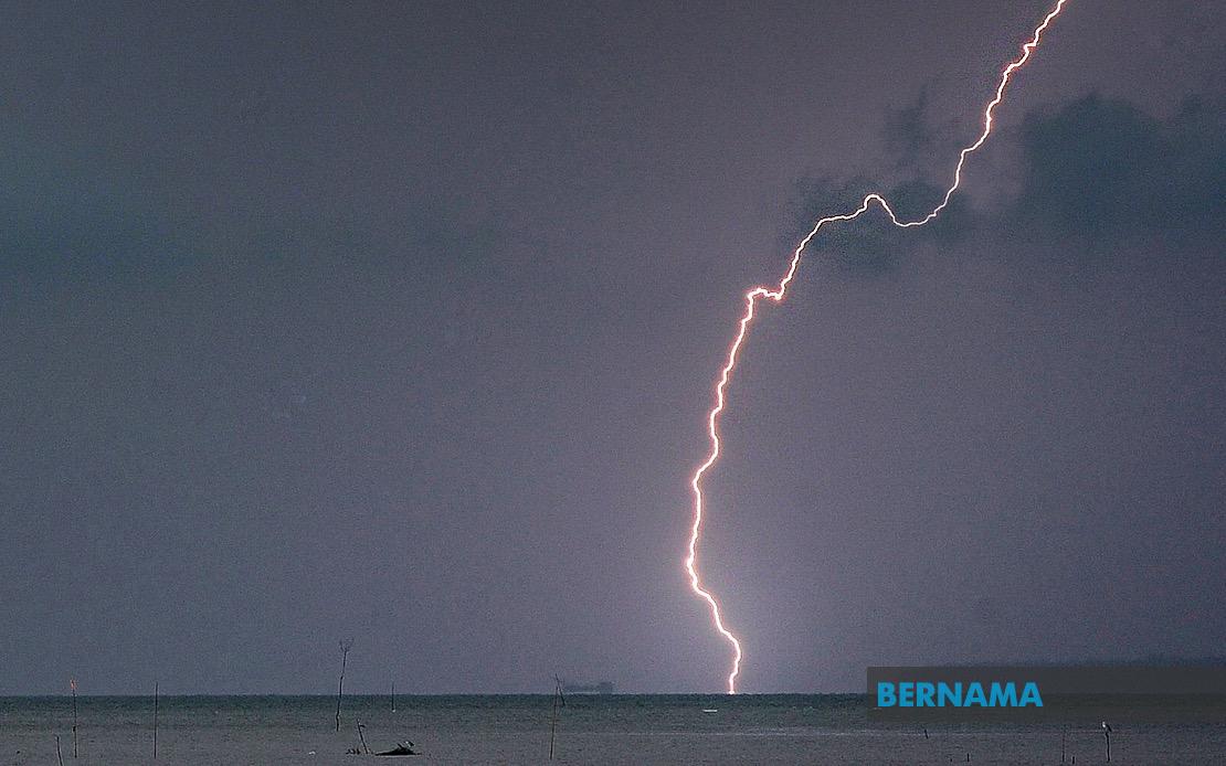
Residents across seven Malaysian states and the federal territory of Labuan have been advised to prepare for hazardous weather conditions as the Malaysian Meteorological Department issues an urgent warning of thunderstorms, heavy rainfall, and strong winds expected to persist until 5 pm today. The nationwide alert underscores the intensity of the atmospheric disturbance affecting large portions of peninsular Malaysia and the island of Borneo, with authorities urging vigilance across diverse geographic regions.
In Kedah, the district of Baling faces the brunt of predicted adverse conditions, whilst Perak experiences the widest geographic impact with nine districts simultaneously affected. The affected Perak zones comprise Manjung, Kinta, Perak Tengah, Kampar, Bagan Datuk, Hilir Perak, Batang Padang and Muallim, representing a significant swath of the state stretching from coastal areas through to inland regions. This broad coverage suggests the system extends across diverse terrain, from lowland agricultural zones to higher elevations, each presenting different flooding and wind-related risks.
Terengganu's east coast districts stand in the warning zone, with seven areas identified as vulnerable: Setiu, Kuala Nerus, Hulu Terengganu, Kuala Terengganu, Marang, Dungun and Kemaman. The concentration along Terengganu's coastline indicates potential for coastal hazards alongside inland flooding concerns. Neighbouring Pahang also faces significant exposure, with four districts earmarked for severe weather: Tanah Tinggi Cameron, Lipis, Jerantut and Kuantan, encompassing both the highland plateau region and coastal lowlands.
Selangor's four affected districts—Sabak Bernam, Kuala Selangor, Hulu Selangor and Gombak—represent areas both proximate to the capital region and extending northwestward toward Kedah. For residents and commuters in Malaysia's most densely populated state, such warnings carry heightened significance given urban infrastructure vulnerability and traffic disruption potential. Johor, Malaysia's southernmost peninsular state, also faces comparable exposure across six districts: Kluang, Mersing, Pontian, Kulai, Kota Tinggi and Johor Bahru, spanning from interior regions to the southern coast.
East Malaysian territories are not spared from the atmospheric disturbance. In Sabah, multiple administrative divisions face thunderstorm threats, including the Interior region encompassing Kuala Penyu, Beaufort and Tambunan, alongside the West Coast division. Sandakan's Beluran district and the northern Kudat zone also feature in the alert, demonstrating the system's reach across Sabah's diverse geography. The inclusion of Labuan, the offshore federal territory, completes a meteorological picture affecting the nation across multiple time zones and ecosystem types.
For Malaysian motorists, outdoor workers, and construction sites, the combination of heavy downpours and strong gusts presents concrete hazards warranting immediate precautions. Flash flooding remains a particular concern in low-lying urban and rural areas, whilst exposed structures and partially anchored outdoor installations face wind damage risks. Maritime activities and coastal operations likewise require heightened safety protocols during the warning period. Electrical storms accompanying such systems pose electrocution risks that authorities and utilities companies monitor closely.
The temporal specificity of the 5 pm deadline indicates MetMalaysia's confidence in the system's duration and trajectory. This relatively short window suggests either rapid system movement or a contained weather phenomenon expected to weaken during late afternoon hours. Such precision allows residents and emergency services to maintain focused preparedness rather than extended disruption periods, though the intensity concentrated within these hours demands equivalent vigilance.
For Malaysia's agricultural sector, particularly in states like Perak and Pahang with significant farming operations, sudden heavy rainfall carries dual implications—potential soil saturation and crop damage offset against groundwater and reservoir replenishment benefits. Timing during afternoon hours may also influence commodity market decisions and harvest scheduling across affected regions. Plantation operators managing palm oil and rubber estates likewise factor such warnings into field operations planning.
Authorities and emergency response agencies across all affected states have likely mobilised contingency protocols, positioning rescue personnel and ensuring drainage systems function optimally. State disaster management committees typically activate situation rooms during such warnings, monitoring rainfall intensity and reporting localized flooding in real time. Public communication channels from state governments amplify MetMalaysia's alert, ensuring reaching residents through multiple information sources.
The geographic dispersal of affected areas—spanning from Kedah's northern districts through peninsular Malaysia's spine to Johor's southern extremity and extending to Sabah's interior and coastal zones—reflects a substantial atmospheric system rather than isolated convection. Such widespread simultaneous warnings indicate either a major monsoon trough interaction or a significant low-pressure system drawing moisture across the nation. Understanding such meteorological mechanics helps residents appreciate warning severity and justifies corresponding precautionary measures.
Communication of such alerts remains essential to public safety, particularly as storms intensify rapidly and visibility deteriorates. MetMalaysia's systematic notification of affected districts enables targeted warnings rather than blanket national alerts, allowing communities to calibrate responses appropriately. For business continuity planning, event scheduling, and essential services coordination, such meteorologically-precise warnings provide actionable intelligence for resource allocation and timeline adjustment.

