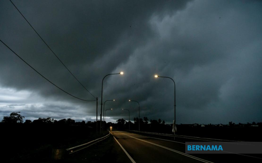
Residents across a significant swath of Malaysia face potentially hazardous weather conditions today, as the Malaysian Meteorological Department activated a nationwide thunderstorm warning spanning nine states and the federal territories. The alert, which remains in effect until 6 pm, encompasses vast stretches of the Peninsular mainland as well as portions of Malaysian Borneo, affecting millions of people across multiple regions and drawing attention to the country's vulnerability to sudden atmospheric disturbances.
The warning zone on the Peninsular side covers Johor in the south, extending northward through Negeri Sembilan and into the interior highland regions of Perak. Within Perak alone, seven districts fall under the alert: Hulu Perak, Kuala Kangsar, Kinta, Kampar, Hilir Perak, Batang Padang and Muallim, reflecting the broad geographic reach of the expected weather system. This coverage pattern suggests the thunderstorm activity originates from a significant atmospheric pressure system rather than isolated convective cells.
The warning extends across much of the eastern seaboard as well. In Kelantan, six administrative divisions face the threat—Tumpat, Pasir Mas, Jeli, Tanah Merah, Kuala Krai and Gua Musang. Terengganu residents in Setiu, Kuala Nerus, Kuala Terengganu, Marang, Dungun and Kemaman must exercise caution. Pahang's expansive interior and eastern plains are similarly affected, with alerts covering the highland areas of Tanah Tinggi Cameron through to coastal Pekan and Rompin. These east coast warnings carry particular significance given the region's exposure to monsoon weather patterns during certain periods.
Selangor's inclusion underscores that even the densely populated heartland surrounding Kuala Lumpur faces weather disruptions. Seven districts in the state—Sabak Bernam, Kuala Selangor, Hulu Selangor, Gombak, Petaling, Hulu Langat and Sepang—have been flagged, alongside the federal territory of Kuala Lumpur itself and the administrative centre of Putrajaya. For the Klang Valley and surrounding urban areas, such warnings typically trigger traffic congestion as commuters adjust travel plans, potentially disrupting commerce and services during the late afternoon period before the alert expires.
The meteorological alert extends significantly into Sarawak, where the department has warned residents of Kuching and areas across the interior and coastal divisions. The affected zones span from Julau in Sarikei division through to the northern reaches in Miri division, encompassing Subis, Beluru, Miri and Marudi. Additionally, Limbang in the northeast completes Sarawak's coverage. Such widespread alerts across Sarawak reflect the state's exposure to sudden weather pattern shifts throughout the year.
Sabah faces similarly comprehensive warnings, with the meteorological department flagging three distinct geographic zones. The inland regions—Sipitang, Tenom, Beaufort, Nabawan, Keningau and Tambunan—feature prominently, as do West Coast settlements including Papar, Penampang, Kota Kinabalu, Tuaran and Ranau. Sandakan district in the east, encompassing Tongod, Telupid, Beluran and Sandakan proper, rounds out the alert area. The inclusion of Kota Kinabalu, Sabah's capital and major economic centre, emphasises the scale of this weather event.
The specific hazards outlined—thunderstorms combined with heavy rainfall and strong wind gusts—create a compound threat to public safety and infrastructure. Lightning strikes pose immediate danger to individuals and can damage electrical systems. Heavy rain raises risks of flash flooding, particularly in low-lying areas and urban zones with poor drainage, potentially trapping vehicles and threatening lives. Strong winds capable of accompanying severe thunderstorms can topple trees, damage structures, and create dangerous flying debris.
Such weather events carry direct implications for Malaysian economic activity and daily routines. Traffic disruptions commonly follow severe thunderstorms on the peninsula's congested highways and city streets. Flights may face delays at Kuala Lumpur International Airport and regional airports, affecting business travel and tourism. Construction sites and outdoor operations must suspend work during the most intense periods. Power outages, while typically brief, can disrupt telecommunications, healthcare services, and commercial transactions.
For East Malaysian residents, thunderstorm warnings represent routine seasonal weather events requiring standard preparedness measures. However, for mainland Peninsula populations less accustomed to rapid-onset severe weather, such alerts often surprise commuters and businesses. The concentration of affected areas—spanning from the industrialised Klang Valley through to rural interior zones—suggests this represents a significant atmospheric system rather than localised convection, warranting public attention and reasonable precautions.
The Malaysian Meteorological Department's decision to issue warnings across such an extensive geographic area reflects modern meteorological monitoring capabilities, which enable forecasters to detect developing weather systems hours in advance. This advance notice allows authorities, emergency services, and the public to prepare appropriately. Residents are typically advised to secure loose outdoor items, avoid unnecessary travel during the most severe phases, and remain alert to sudden changes in local conditions.
As the afternoon progresses toward the 6 pm deadline for this alert, meteorological conditions will require continuous monitoring. The department may extend warnings if atmospheric conditions warrant continued caution, or lift them if the expected weather system weakens or moves beyond forecasted zones. The public's awareness of such warnings and responsive behaviour represents a crucial component of Malaysia's weather-related disaster management framework, complementing the technical expertise of the nation's meteorological specialists.

