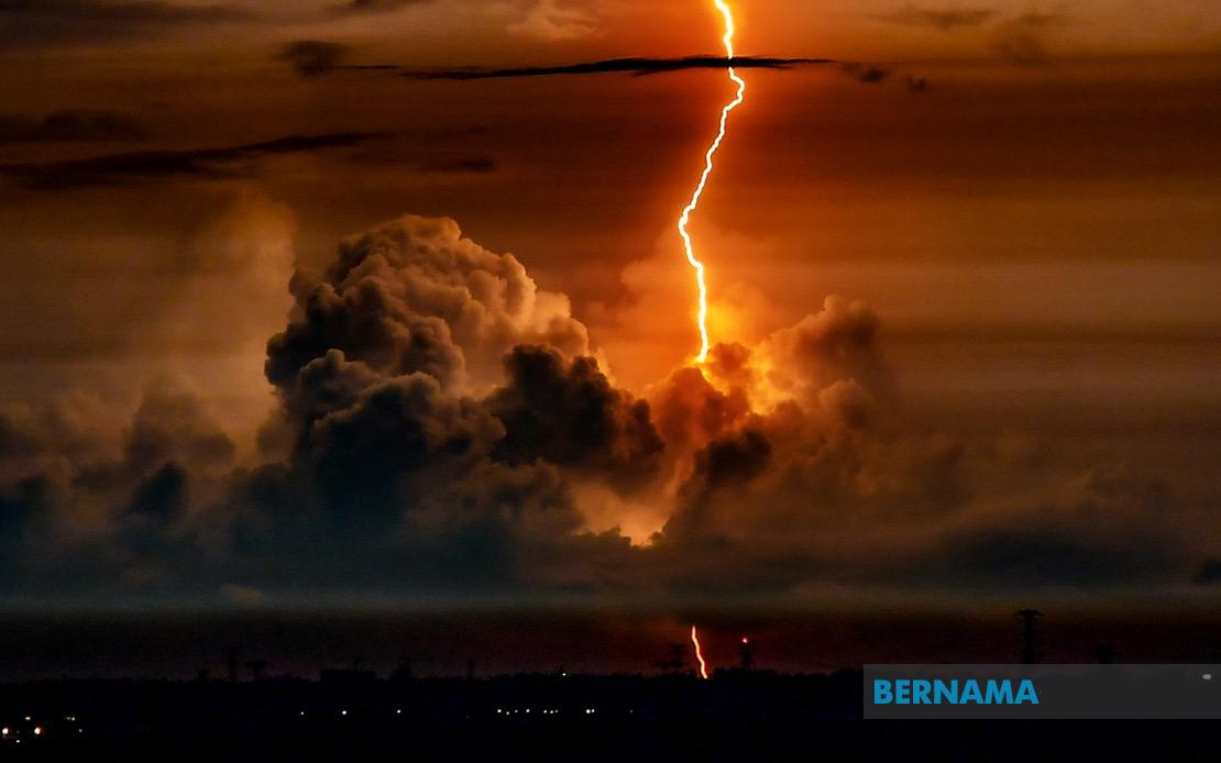
Weather authorities in Malaysia have put residents on high alert as severe thunderstorms and heavy rainfall are expected to sweep across multiple regions of the country until 9 pm tonight. The Malaysian Meteorological Department released an official advisory identifying the affected areas, urging the public to exercise caution and take necessary precautions in preparation for the inclement conditions.
The northern region faces particular vulnerability, with both Kedah and Perak reporting forecast thunderstorm activity. Specifically, the districts of Sik and Baling in Kedah are in the warning zone, while residents in the Hulu Perak and Batang Padang areas of Perak should remain vigilant. These regions, which experience seasonal weather patterns that can produce rapid accumulation of rainfall, require heightened awareness among residents and businesses.
The east coast states are also in the meteorological department's crosshairs. Terengganu will experience dangerous weather across five separate districts: Setiu, Kuala Nerus, Hulu Terengganu, Kuala Terengganu and Marang. The neighbouring state of Pahang faces even more extensive coverage, with thunderstorms predicted to affect seven districts spanning from the highland region through to the coastal areas. Cameron Highlands, Lipis, Jerantut, Maran, Kuantan, Pekan and Rompin are all designated as high-risk zones for the evening's weather system.
In the southern peninsula, Johor experiences a widespread threat affecting both its urban and regional areas. The warning encompasses Kluang, Mersing, Kulai, Kota Tinggi and the state capital Johor Bahru, suggesting that the weather system carries sufficient intensity to affect the entire geographical spectrum of the state. Given Johor's economic significance and population density, such warnings carry substantial implications for transportation networks and daily operations across the region.
The situation extends significantly into Malaysian Borneo, where Sarawak faces perhaps the most geographically dispersed threat. The maritime state's vulnerable areas span from the capital Kuching through to the divisions of Serian, Samarahan, Sarikei, Sibu, Mukah, Kapit, Bintulu, Miri and Limbang. Within each division, specific districts remain on alert, indicating that the weather system presents a comprehensive challenge across Sarawak's diverse topography. This pattern suggests a significant atmospheric disturbance capable of influencing weather patterns across the eastern section of the island.
Sabah similarly confronts a multi-directional threat across its interior and coastal regions. The warning identifies vulnerable areas spanning from Sipitang and Tambunan in the interior, extending through the west coast divisions of Tuaran and Ranau, and reaching the eastern territories including Lahad Datu, Telupid, Kinabatangan, Beluran and Pitas. The distribution across such varied terrain indicates a weather system of considerable scale and energy.
Thunderstorms combined with heavy precipitation and strong winds represent a compound meteorological hazard. The tripartite threat of intense lightning activity, rapid water accumulation, and potentially damaging wind gusts creates cascading risks across multiple sectors. Transportation networks face disruption risks as visibility decreases and road surfaces become treacherous. Electrical infrastructure may experience strain or damage from lightning strikes, while open water environments become hazardous for maritime activities.
For Malaysian residents and businesses, weather advisories of this scope warrant practical response measures. Securing loose outdoor items, checking drainage systems for blockages, and ensuring family members remain indoors during the peak storm hours represent basic protective steps. Businesses dependent on transportation should anticipate potential supply chain disruptions, while outdoor events scheduled for this evening warrant postponement consideration. Drivers should exercise heightened caution and reduce speed when navigating affected areas.
The timing until 9 pm provides a specific window for public preparedness. Authorities typically issue such temporal boundaries based on meteorological modelling indicating when atmospheric conditions will most severely manifest. This evening conclusion suggests the system is expected to move through the region relatively quickly, though localized variations may produce rain bands extending beyond the official warning period in specific locations.
The geographic spread of this warning—encompassing the peninsula's northern, eastern and southern regions simultaneously, plus substantial portions of both Malaysian Borneo states—indicates a weather pattern of significant scale and energy. Such comprehensive warnings typically signal an upper-atmospheric disturbance or monsoon-related system affecting a broad swathe of the region rather than isolated convective activity. This context underscores why the meteorological department deemed an official public advisory necessary.
Residents in identified areas should monitor official weather updates throughout the evening, as conditions may intensify or extend differently than currently forecast. The Malaysian Meteorological Department continues disseminating real-time information through multiple channels, and affected residents are encouraged to maintain awareness and adjust activities accordingly. Weather systems can evolve unpredictably, and updated bulletins may provide revised timing or additional affected areas as the situation develops.

