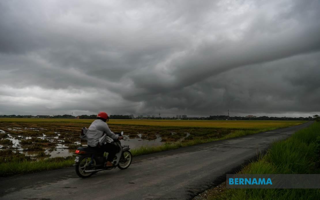
The Malaysian Meteorological Department (MetMalaysia) has issued a widespread thunderstorm warning affecting dozens of districts across the nation, cautioning residents and commuters to exercise caution as severe weather conditions are forecast to persist until 9 pm. The alert spans a significant portion of Peninsular Malaysia alongside East Malaysian states and federal territories, reflecting the scale of atmospheric instability expected across the region during the afternoon and evening hours.
In the northern peninsula, Kedah residents in Kuala Muda, Baling, Kulim and Bandar Baharu should prepare for intense weather, while Penang faces similar conditions across its four main districts: the Northeast area, Seberang Perai Utara, Seberang Perai Tengah and Seberang Perai Selatan. The warning underscores how rapidly developing thunderstorm systems can affect densely populated urban and suburban zones simultaneously, potentially disrupting traffic flow and outdoor activities during peak evening hours.
Perak's exposure encompasses the state's central and northern reaches, with Kerian, Larut, Matang and Selama, Hulu Perak, Kuala Kangsar, Kinta, Kampar and Batang Padang all placed under alert status. Additionally, every district in Kelantan faces the threat of thunderstorms, illustrating how particular regions experience heightened vulnerability during specific seasonal periods when atmospheric conditions favour the formation of rapidly rotating convective systems capable of producing sudden, intense precipitation and dangerous wind gusts.
On the east coast, Terengganu's warning covers six districts—Besut, Hulu Terengganu, Kuala Terengganu, Marang, Dungun and Kemaman—while Pahang's alert zone encompasses Cameron Highlands, Lipis, Jerantut, Kuantan, Pekan and Rompin. The concentration of warnings along Malaysia's east coast reflects the region's exposure to moisture-laden air masses and terrain features that can trigger rapid thunderstorm development, particularly during monsoon transition periods when wind patterns create ideal conditions for convective activity.
In Johor, eight districts have been identified as at-risk zones: Tangkak, Segamat, Muar, Kluang, Mersing, Kulai, Kota Tinggi and Johor Bahru. The inclusion of Johor Bahru, the state's largest urban centre and a major commercial hub, highlights how such weather systems can impact significant population centres and economic activity, potentially affecting transportation networks and business operations during critical evening hours.
East Malaysia faces similarly widespread conditions, with Sarawak's warning targeting Sibu, Mukah (encompassing Matu, Dalat and Mukah), Kapit (Song), Bintulu (Tatau) and Miri (Beluru, Miri and Marudi). These areas, spanning Sarawak's central and coastal regions, represent diverse terrain types ranging from densely forested interior zones to developed riverine communities, all susceptible to the rapid intensification that characterizes tropical thunderstorm development.
Sabah's alert extends across both the Interior Division and West Coast Division, affecting Sipitang, Kuala Penyu, Beaufort and Tambunan in the interior, alongside Papar, Penampang and Ranau along the west coast. The Federal Territory of Labuan, positioned strategically in the South China Sea, has also been included in the warning, reflecting how maritime-based jurisdictions remain vulnerable to convective systems that develop over surrounding waters and move inland with little warning.
Thunderstorm warnings serve a critical public safety function in Malaysia, where the tropical climate creates conditions favourable for rapid cloud development and intense atmospheric dynamics. The phenomenon of sudden severe weather poses particular challenges in urban areas where inadequate drainage and concentrated populations can amplify flooding risks. CommRoads become hazardous when visibility drops dramatically and water accumulates, while pedestrians and cyclists face elevated accident risks from wind gusts and lightning strikes that accompany vigorous thunderstorms.
The geographic breadth of this warning—stretching from Kedah in the northwest through Peninsular Malaysia's spine and extending across to Sarawak and Sabah—suggests a region-wide atmospheric pattern conducive to convective development. MetMalaysia's decision to implement alerts across such dispersed areas reflects sophisticated meteorological analysis and sophisticated forecasting capability that allows the department to identify emerging weather threats and communicate risks to the public with sufficient lead time for protective measures.
Residents and travellers should remain attentive to real-time weather updates beyond the 9 pm expiration timestamp, as afternoon thunderstorms frequently extend their duration or transition into secondary weather systems. Particular caution applies to individuals planning outdoor activities, marine operations, or travel through vulnerable zones where flash flooding historically occurs. The convergence of multiple severe weather elements—thunder, lightning, heavy rain and strong winds—creates compound hazards that warrant proactive preparation and heightened situational awareness throughout the warning period.

