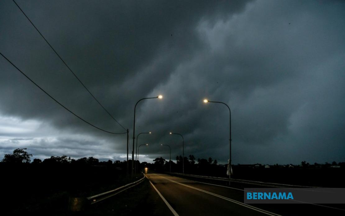
The Malaysian Meteorological Department has activated severe weather warnings across Peninsular Malaysia today, cautioning residents and commuters to prepare for thunderstorms, torrential downpours, and gusty winds expected to persist until midday. The national weather forecasting agency cited multiple districts as focal points for the developing storm system, with meteorological conditions deteriorating across a substantial portion of the peninsula's populated regions.
Kedah residents in the Kuala Muda and Yan districts face the brunt of the expected atmospheric disturbance, making travel and outdoor activities particularly hazardous during the warning period. Neighbouring Penang, which sits along the northwest coast and experiences frequent weather systems during monsoon transitions, has also been flagged as an affected zone. The geographical positioning of these northern states makes them especially vulnerable to rapid weather changes channelled through the Strait of Malacca.
In Perak, the situation manifests with differentiated timelines depending on specific localities. The southern coastal district of Bagan Datuk is under alert until noon, aligned with the broader Peninsular warning. However, central and northern Perak presents a more extended concern, with the meteorological department maintaining heightened vigilance over Kerian, Larut, Matang and Selama, Manjung, Perak Tengah, and Hilir Perak until 1 pm. This staggered approach reflects the agency's assessment that storm cells affecting the interior and northern reaches of the state will persist longer than those impacting coastal regions.
Selangor's densely populated areas constitute perhaps the most critical zone from an urban disruption standpoint. Eight districts warrant precautionary measures: Klang, the historical port city serving as an industrial hub; Kuala Langat, bordering Negeri Sembilan; Sepang, home to critical aviation and transport infrastructure; Kuala Selangor in the north; Petaling, encompassing suburban Kuala Lumpur; Sabak Bernam on the state's northwestern frontier; and Gombak, which straddles the Selangor-Kuala Lumpur boundary. The concentration of warnings across Selangor underscores the state's exposure to atmospheric instability patterns common during inter-monsoon periods.
Federal Territories of Kuala Lumpur and Putrajaya, despite their administratively distinct status, fall within the broader cautionary perimeter established by MetMalaysia. The federal capital's dense urban landscape and critical government and commercial infrastructure make weather-related disruptions particularly consequential. Putrajaya, administratively separate yet geographically proximate, experiences comparable meteorological conditions and faces equivalent operational risks during severe weather events.
Thunderstorm alerts carry substantial practical implications for Malaysia's transportation networks. The Klang Valley, which encompasses Selangor's southwestern zone, experiences daily traffic volumes exceeding two million vehicle movements, and atmospheric conditions triggering thunderstorm warnings typically correlate with reduced visibility, slippery surfaces, and flash flooding in low-lying areas. Commuters and delivery services throughout the peninsula should anticipate congestion on major arterial routes, particularly highways traversing affected zones.
Airline operations also respond to such meteorological declarations. Malaysia's primary aviation hub at Kuala Lumpur International Airport sits within Sepang, one of the explicitly named high-risk zones, and flight operations may encounter delays or rerouting as storm cells move through the region. Regional carriers operating on domestic routes connecting affected states similarly adjust scheduling to accommodate adverse conditions.
The industrial sector, particularly in Selangor and Penang where manufacturing and processing operations concentrate, prepares contingency protocols during thunderstorm warnings. Facilities managing hazardous materials, electrical equipment sensitive to lightning strikes, or outdoor operations necessitate precautionary measures including equipment shutdown, personnel repositioning, and enhanced safety monitoring.
MetMalaysia's specificity in identifying affected districts rather than entire states reflects advancement in weather prediction granularity, allowing targeted warnings that minimise unnecessary alarm whilst ensuring at-risk populations receive adequate notice. This precision has evolved through integration of satellite imagery, ground-based radar systems, and computational modelling that segments peninsular geography into zones exhibiting distinct meteorological behaviour during monsoon transitions and inter-monsoon periods.
Residents and businesses throughout the affected zones should exercise heightened caution during the warning window. Standard precautions include securing loose outdoor items vulnerable to strong winds, avoiding unnecessary travel in areas prone to flash flooding, postponing outdoor activities, and maintaining awareness of developing conditions through MetMalaysia's updated advisories. The warning window—extending to noon for most areas and 1 pm for selected Perak districts—suggests the storm system follows typical diurnal heating patterns that typically peak in mid-morning before weakening through afternoon convective processes.
The timing and geographical distribution of this warning reflects broader climatic patterns affecting Southeast Asia during transitional monsoon periods, when atmospheric instability creates conditions favouring rapid storm development. Malaysia's position along the equatorial zone, combined with surrounding maritime influences and topographical features, renders the peninsula particularly susceptible to such phenomena during specific seasonal windows. For residents and organisations across the named districts, immediate preparation and cautious activity modification represent prudent responses to the meteorological department's formal advisory.

