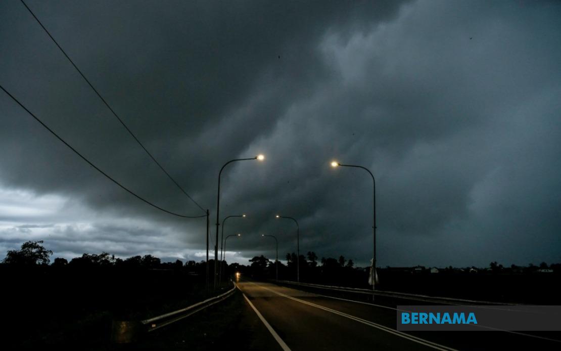
The Malaysian Meteorological Department has issued an urgent weather alert covering multiple regions across the country, cautioning residents to prepare for severe thunderstorms, torrential downpours, and gusty winds that are expected to persist until midnight. The advisory encompasses a substantial portion of Peninsular Malaysia alongside significant areas in the eastern Malaysian states, reflecting widespread atmospheric instability across the nation.
On the peninsula, the entire state of Melaka faces the prospect of disruptive weather conditions. In Terengganu, seven districts have been flagged as vulnerable zones: Setiu, Kuala Nerus, Hulu Terengganu, Kuala Terengganu, Marang, Dungun, and Kemaman. The concentration of affected areas in the east coast region suggests that a weather system is channelling moisture and unstable conditions through this corridor, a pattern not uncommon during certain monsoon phases.
Adjacent regions in neighbouring states also face similar threats. Pahang's interior districts of Jerantut and Bera lie in the forecasted impact zone, while Negeri Sembilan residents in Jempol and Tampin should exercise caution during the evening hours. Southern Johor has been particularly singled out, with six districts identified: Tangkak, Segamat, Muar, Batu Pahat, Kluang, and Pontian. This geographic spread across the southern peninsula indicates that the weather system maintains considerable reach and intensity.
The warning extends beyond Peninsular Malaysia into the island states of Sarawak and Sabah, underscoring the scale of the meteorological event. In Sarawak, coastal and river areas in Sarikei and Sibu are included alongside interior regions in Song district within Kapit Division. The Betong Division, located in the far southern portion of Sarawak, has also been designated as affected, with specific reference to Pusa, Saratok, and Kabong areas. Such widespread coverage across Sarawak's diverse topography suggests multiple weather systems or a particularly expansive storm cell affecting the state.
Sabah's exposure centres on its eastern and interior zones. Sipitang in the Interior Division faces the hazards, as does Sandakan on the east coast. The Tawau Division, encompassing Tawau town itself along with Kunak and Lahad Datu districts, has been identified as vulnerable. The concentration in Sabah's eastern regions points towards maritime influences driving the unstable conditions, a dynamic particularly relevant given the state's exposure to South China Sea weather patterns.
Thunderstorms of this magnitude carry multiple hazards for affected communities. Beyond the immediate dangers of lightning strikes and strong winds capable of toppling trees and damaging structures, heavy rainfall poses significant flood risks in low-lying areas and settlements near rivers and drainage systems. Motorists traversing affected regions face reduced visibility and slippery road surfaces, while coastal communities should be mindful of potential surge effects and rough seas.
For Malaysian readers, this weather advisory carries practical implications for evening travel plans, outdoor activities, and general preparedness. Those residing in flagged districts should monitor local weather updates closely and consider postponing non-essential activities until conditions improve. Securing loose outdoor items, checking drainage systems, and ensuring adequate supplies of essential goods represents prudent preparation for households in affected zones.
The issuance of such geographically extensive warnings reflects MetMalaysia's commitment to timely public communication about severe weather events. The precision in naming specific districts enables residents to assess their personal exposure and take appropriate precautions rather than relying on vague regional classifications. This level of granularity helps authorities and emergency response units mobilize resources more effectively to areas facing greatest risk.
The midnight deadline provides a clear temporal boundary for this particular advisory phase, though meteorological conditions can evolve rapidly. Communities should remain attentive to any updated warnings or extensions issued by MetMalaysia, as atmospheric systems occasionally persist longer than initially forecast. Conversely, conditions may improve ahead of schedule depending on how the underlying weather pattern develops over the coming hours.
For Southeast Asian context, such weather events are characteristic of the region's tropical climate, where rapid atmospheric destabilization and intense convection are recurrent phenomena. Malaysia's position near the equator and its exposure to maritime influences from multiple surrounding seas create an environment conducive to frequent thunderstorm development, particularly during transitional monsoon periods. Understanding these patterns helps communities build resilience and preparedness into their regular operational protocols.

