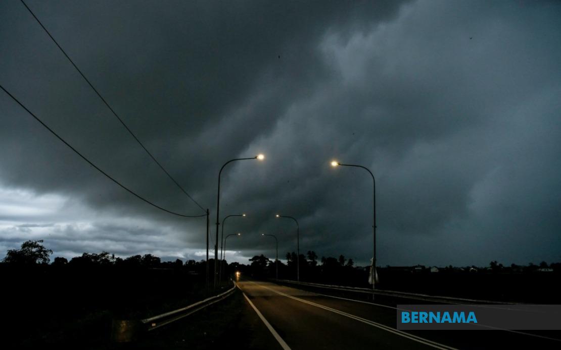
The Malaysian Meteorological Department has cautioned residents across swathes of the country to prepare for severe weather conditions, with thunderstorms and torrential downpours expected to persist through the morning hours. The alert encompasses vulnerable districts spanning from the northern reaches of Peninsular Malaysia down to the southern tip, alongside significant population centres in Sarawak and the offshore federal territory, creating a widespread weather advisory that affects millions of Malaysians in their daily activities.
Residents in Kedah's Kuala Muda, Baling, Kulim and Bandar Baharu districts should brace for the incoming system, while the entire state of Penang faces similar conditions. This represents a significant swath of the nation's northern economic corridor, home to manufacturing hubs, agricultural zones, and densely populated urban areas that depend on stable weather for operations and commuter safety.
Peering into the central region, Perak's districts of Kerian, Larut, Matang and Selama, alongside Manjung and Bagan Datuk, have been flagged for severe weather activity. The east coast is not exempt, with Rompin in Pahang designated as a concern area. These locations straddle important transportation routes and economic zones that could face disruption from poor visibility and waterlogged roads.
The central belt experiences heightened risk as well. Negeri Sembilan's Jempol and Tampin municipalities, coupled with the entirety of Melaka, fall within the warning perimeter. Johor, Malaysia's southernmost peninsular state, sees particular attention given to Tangkak, Segamat, Muar, Kulai, Kota Tinggi and Johor Bahru—a roster including major urban centres and port facilities handling substantial commercial traffic.
Cross the South China Sea, the warning extends to East Malaysia with considerable reach. Sarawak's Bintulu Division encompasses Tatau and Bintulu proper, while Miri Division includes Subis, Miri itself, and Marudi. These localities represent critical petroleum and timber regions fundamental to both the state and national economy, where adverse weather can disrupt operations and delay shipments.
The Federal Territory of Labuan, sitting offshore between Sarawak and Sabah, faces equivalent meteorological challenges. This international financial centre and oil and gas hub requires stable conditions for safe port operations and commercial continuity, making the alert particularly consequential for regional maritime activity and energy sector operations.
The warning carries implications for multiple sectors simultaneously. Public transportation networks may face delays as visibility diminishes and road surfaces become treacherous. Schools and workplaces in affected zones should consider contingency protocols. Farmers across Peninsular Malaysia's agricultural heartlands—particularly in Kedah, Perak, and Pahang—face potential crop damage and field inundation. Port operations in Johor and Sarawak may experience temporary slowdowns, affecting export schedules and logistics chains that feed into global supply networks.
The department's emphasis on weather vigilance reflects the unpredictable nature of tropical systems, where conditions can intensify rapidly without substantial warning. For residents in flood-prone districts within the advisory zones, the alert warrants heightened monitoring of drainage systems and vulnerable low-lying areas prone to flash inundation. The convergence of multiple thunderstorm cells across such a large geographic footprint simultaneously amplifies the cumulative impact on infrastructure and daily life.
MetMalaysia's guidance to remain alert and monitor official channels underscores the evolving nature of these conditions. Weather patterns in the tropics remain dynamic, and what appears to be a localized system can expand or intensify unexpectedly. Residents should access real-time updates through MetMalaysia's official website, mobile application, and social media platforms rather than relying on secondhand reports, ensuring they receive the most current and accurate advisories as the system develops.
The temporal boundary of this alert—extending through noon—suggests meteorologists anticipate the system's primary intensity concluding by early afternoon. However, lingering effects including saturated ground conditions and potential aftereffects of heavy precipitation may persist beyond the formal warning period. Communities should prepare accordingly and maintain awareness that even after the noon deadline passes, residual hazards from the morning's deluge may continue affecting road conditions and infrastructure integrity throughout the afternoon.

