Japan's meteorological authorities have escalated weather warnings as two separate typhoon systems threaten the country's populated western and eastern regions over the coming weekend. The Japan Meteorological Agency cautioned on Friday that Typhoon Higos could make landfall after approaching from the Pacific, while simultaneously monitoring Typhoon Mekkhala, which was already impacting southwestern coastal areas with significant rainfall and wind impacts across multiple prefectures.
The dual-threat scenario has prompted unprecedented evacuation measures, with the Fire and Disaster Management Agency reporting that more than 2 million residents across 13 prefectures spanning the Kinki and Kyushu regions have received evacuation orders as of Friday morning. This scale of displacement underscores the severity of the anticipated weather conditions and reflects Japanese authorities' cautious approach to typhoon preparedness. The evacuations represent a significant logistical undertaking that strains local resources and services across affected communities.
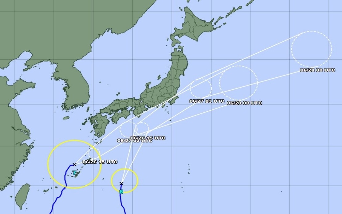
Mekkhala arrived at the Amami region in Kagoshima Prefecture in southwestern Japan on Friday, moving at a measured pace of 15 kilometres per hour. The typhoon's northeast trajectory positioned it off Okinawa's Kume Island as of mid-morning Friday, with forecasters predicting its eventual advance toward the more densely populated Kanto region. Meanwhile, Higos was tracking northward along the country's southern coastal waters, setting up a scenario where both systems could influence weather patterns across different portions of the archipelago simultaneously.
Rainfall accumulations over the preceding days already approached emergency thresholds in several locations. The Goto area in Nagasaki Prefecture experienced 600 millimetres of precipitation between Tuesday and Friday morning, while Aso in Kumamoto Prefecture and Ureshino in Saga Prefecture each recorded more than 500 millimetres during the same period. These totals, approaching or exceeding monthly averages in some cases, demonstrate that heavy precipitation had already saturated soils across the region before the typhoons arrived, raising the risk of secondary hazards such as mudslides and flash flooding.
The consequences became immediately apparent when a landslide struck Seika in Kyoto Prefecture on Friday morning, prompting authorities to issue the highest level 5 emergency safety alert for affected sections of the town. This incident illustrated how soil moisture and ground instability following extended rainfall periods can trigger sudden geological failures, particularly in Japan's mountainous terrain where steep slopes and limited building setback create inherent vulnerability.
Meteorelativists anticipated rainfall intensification throughout Saturday as Typhoon Higos migrated northward, with the Tokai and Kanto regions positioned to experience the heaviest precipitation bands. The Tokai region faced the prospect of receiving up to 300 millimetres by Saturday noon, while the broader Kanto-Koshin zone was forecast to accumulate up to 150 millimetres as both Higos and Mekkhala influenced atmospheric circulation patterns. This concentration of rainfall over short timeframes creates flash flood hazards in river systems and urban drainage infrastructure, particularly problematic in highly developed metropolitan areas with extensive impervious surfaces.
Okinawa Prefecture and eastern Japan were warned to anticipate particularly intense storm conditions, with the dual typhoon approach potentially creating a dynamic situation where wind patterns from both systems could reinforce one another or create localized convergence zones of extreme activity. The Japan Meteorological Agency stressed public alertness for cascading hazards beyond the obvious wind and rain impacts, particularly emphasizing the heightened probability of landslides in already saturated slopes and flooding in low-lying and riverside communities.
Japan's preparedness framework benefited from decades of typhoon experience and sophisticated forecasting capabilities, yet the prospect of two major systems in the same timeframe still presented operational challenges. Coordination between evacuation sites, emergency services, and utility companies becomes exponentially more complex when multiple regions face simultaneous threats. Supply chain disruptions, transportation paralysis, and communication breakdowns become real concerns when infrastructure spanning multiple prefectures faces simultaneous impacts.
For Southeast Asian observers, Japan's situation carries lessons about typhoon season vulnerabilities across the broader western Pacific region. Several Southeast Asian nations similarly sit within typhoon belts and face comparable challenges of heavy precipitation, landslide risk, and rapid-onset flooding. The scale and sophistication of Japan's early warning systems and evacuation capabilities remain ahead of many regional peers, yet even well-prepared infrastructure and protocols face strain when multiple systems approach simultaneously.
The Japan Meteorological Agency's assessment that both typhoons would likely weaken into extratropical cyclones following landfall provided some reassurance that the systems would not retain maximum intensity while moving across populated areas. However, extratropical cyclones still produce significant wind and precipitation, merely in different spatial patterns than their tropical counterparts. The transition phase often creates unpredictable conditions that can catch communities off-guard despite forecasting advances.
Beyond the immediate weekend emergency, the successive waves of heavy rainfall set the stage for ongoing flooding risks in subsequent days as waterlogged terrain struggled to absorb additional precipitation. River levels across Kyushu and Kansai regions would likely remain elevated, maintaining flood threats even after the typhoons had passed. Such extended impacts complicate recovery and demand sustained alert from communities and emergency management officials for days beyond the primary storm passage.